
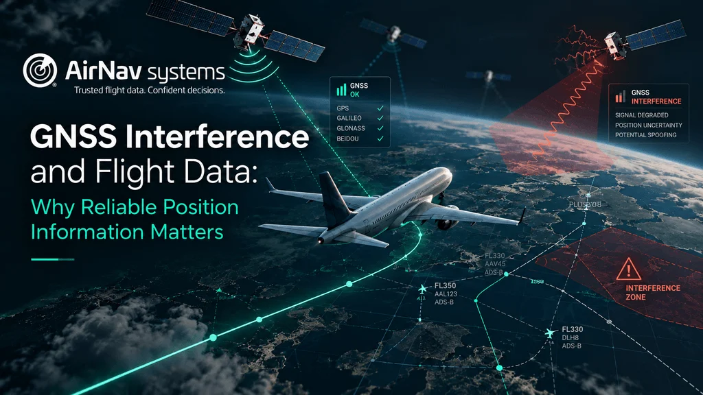
GNSS interference is no longer a rare event in a few conflict zones. IATA data shows GNSS signal-loss events nearly doubled between 2022 and 2024, and the problem now affects flights on almost every continent.
Most conversations focus on the cockpit: what pilots see, and how crews respond. But interference also reaches the data that airlines, airports, analysts and software teams use every day. When an aircraft’s GNSS is jammed or spoofed, the position it broadcasts can be missing or simply wrong.
In this article, we explain what GNSS interference is, how it affects flight data, and why data built from multiple independent sources is the best protection against it.
Jamming vs. Spoofing: two different problems
GNSS interference comes in two main forms, and they leave different marks on flight data.
- Jamming drowns out the satellite signal with noise. The aircraft’s receiver loses its GNSS fix, so the position it reports becomes less accurate or disappears.
- Spoofing sends fake satellite signals. The receiver accepts them and calculates a false position, which can look perfectly normal at first glance: an aircraft that seems to circle over a city, or jumps hundreds of kilometers in seconds.
Jamming is easier to notice because data goes missing. Spoofing is more dangerous for data users because the wrong position still arrives and looks valid.
How big is the problem?
According to IATA’s Flight Data eXchange, the GNSS signal-loss rate rose from 31 events per 1,000 flights in 2022 to 56 in 2024, with 59 projected for 2025 (Business Today / PTI). IATA’s Director General Willie Walsh described the increase as “very significant”.
The hotspots are spread widely. Researchers at Stanford’s GNSS Laboratory have documented spoofing patterns over western Russia, Kaliningrad, the Black Sea, the Eastern Mediterranean, the Middle East, Myanmar and the India-Pakistan border (Stanford GNSS Lab, ION ITM 2026). In India alone, the civil aviation ministry reported 1,951 GNSS interference cases in two years.
What interference does to flight data
ADS-B, the main source of live aircraft positions, depends on GNSS. Aircraft calculate their own position from satellite signals and broadcast it. If GNSS is jammed or spoofed, ADS-B carries that problem straight into every system that uses the data.
In practice, this shows up as:
- Gaps: positions drop out or become very imprecise during jamming.
- False tracks: aircraft appear to fly in circles, cluster at the same point, or jump to impossible locations.
- Unrealistic speeds: a spoofed track can imply a speed far from what the aircraft is really flying.
- Wrong operational events: a bad position can trigger false diversions, holding patterns or airspace alerts in downstream tools.
For a fleet manager, an analyst or an AI system using live data, a wrong position is often worse than no position at all, because it leads to confident but incorrect decisions.
Why multiple data sources matter
The best defence against bad positions is not to rely on GNSS alone. Reliable flight data cross-checks what an aircraft says about itself against sources that do not depend on its GNSS receiver.
| Source | Depends on the aircraft’s GNSS? | How it helps during interference |
|---|---|---|
| Ground ADS-B | Yes | Main live source; its quality indicators (NIC/NACp) drop when GNSS degrades |
| MLAT (multilateration) | No | Calculates position from signal arrival times at several receivers |
| Radar and ANSP data (e.g. FAA, EUROCONTROL) | No | Independent surveillance to validate tracks |
| Flight plans and schedules | No | Shows where the aircraft is expected to be |
| Satellite ADS-B | Yes | Extends coverage over oceans and remote areas |
Comparing these sources makes it possible to flag positions that do not make sense, such as an aircraft reported over land while radar shows it on its planned route.
Quality indicators also matter. ADS-B messages include accuracy and integrity values that fall when GNSS is degraded. Researchers note that few visualization tools use them today, which is a missed opportunity for anyone who depends on position quality.
How AirNav approaches GNSS interference
AirNav combines 14+ data sources, including ADS-B from 55,000+ ground receivers in 190+ countries, MLAT, satellite ADS-B and official ANSP data. That mix lets us compare what aircraft report with independent sources, instead of trusting a single signal.
Our GNSS Integrity Monitoring solution uses this network to detect jamming and spoofing and show where and when interference happens. It helps operators, airports and authorities see affected areas, plan around them and explain unusual tracks in their data.
Research spotlight. Independent researchers also rely on crowdsourced ADS-B data to study interference. The Stanford GNSS Laboratory lists AirNav among the ADS-B data providers it uses for spoofing observations.
5 questions to ask your flight data provider
- How many independent sources feed your positions, and which don’t depend on GNSS?
- Do you use MLAT, and where is it available?
- Do you pass ADS-B quality indicators (NIC/NACp) through to customers?
- How do you detect and flag spoofed or jammed positions?
- Can you show where interference is happening in the areas we operate?
FAQ
What is the difference between GNSS jamming and spoofing?
Jamming blocks the satellite signal, so the aircraft loses its GNSS position. Spoofing sends fake signals, so the aircraft calculates a false position.
Does GNSS interference affect ADS-B data?
Yes. ADS-B positions come from the aircraft’s GNSS, so interference can cause missing or false positions in flight tracking data.
How can flight data stay reliable during GNSS interference?
By combining ADS-B with sources that do not depend on the aircraft’s GNSS, such as MLAT and radar, and by checking position quality indicators.
Where does GNSS interference happen most?
Reported hotspots include the Baltic region, the Black Sea, the Eastern Mediterranean, the Middle East, South Asia and Myanmar.
Talk to us
Want to know how GNSS interference affects the regions you operate in? Contact our team to see AirNav’s flight data and GNSS Integrity Monitoring in action.